Document Library
Documents
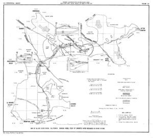
Bulletin No. 84 Mojave River Ground Water Basins Investigations, DWR

 Bulletin No. 84 Mojave River Ground Water Basins Investigations, DWR
 Aquifer Recharge From the 1969 and 1978 Floods in the Mojave River Basin, California
Changes in Riparian Vegetation in the Southwestern United States: Historical Changes Along the Mojave River, California
Concentrations for Total Dissolved Solids, Arsenic, Boron, Fluoride, and Nitrite-Nitrate for Wells Sampled in the Mojave Water Agency Management Area, California, 1991-1997
Detection and Measurement of Land Subsidence Using Interferometric Synthetic Aperture Radar and Global Positioning System, San Bernardino County, Mojave Desert, California
Flood-Hazard Study — 100-Year Flood Stage for Apple Valley Dry Lake San Bernardino County, California
Flood-Hazard Study — 100-Year Flood Stage for Lucerne Lake San Bernardino County, California
Evapotranspiration Water Use Analysis of Saltcedar and Other Vegetation in the Mojave River Floodplain, 2007 and 2010

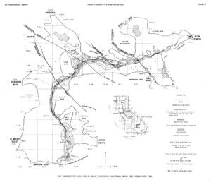
Flood Plain Information Mojave River (Vicinity of Victorville) San Bernardino County, California
Generalized Streamflow Relations of the San Bernardino and Eastern San Gabriel Mountains, California
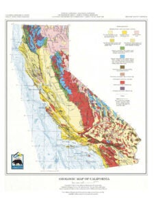
Geologic Map of California
Geologic Setting, Geohydrology and Ground-Water Quality near the Helendale Fault in the Mojave River Basin, San Bernardino County, California
Groundwater Quality Analysis Technical Memorandum/Phase 1 Between Mojave Water Agency and Schlumberger Water Services
Health of Native Riparian Vegetation and its Relation to Hydrologic Conditions along the Mojave River, Southern California
Helium Isotope Studies in the Mojave Desert, California: Implications for Groundwater Chronology and Regional Seismicity
Geologic Map and Borehole Stratigraphy of Hinkley Valley and Vicinity, San Bernardino County, California
Hydrologic Analysis of Mojave River Basin, California, Using Electric Analog Model
Hydrogeologic Evaluation Proposed R3 Project Mojave River Channel Area Vicinity Hesperia San Bernardino County, California
Late Cenozoic Strike-Slip Faulting in the Mojave Desert, California
In Situ Seismic Velocities of Granitic Rocks, Mojave Desert, California
Hydrogeologic Investigation of Camp Cady Wildlife Area CDFG
Mojave River Basin Ground-Water Recharge with Particular Reference to the California Floods of January and February 1969
Lithologic and Ground-Water Data for Monitoring Sites in the Mojave River and Morongo Ground-Water Basins, San Bernardino County, California, 1992-98
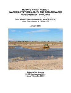
Mojave Water Agency Water Supply Reliability and Groundwater Replenishment Program Final Project Environmental Impact Report
Mojave Salt and Nutrient Management Plan Final, Volumes I and II (zipped)
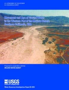
Movement and Age of Ground Water in the Western Part of the Mojave Desert, Southern California, USA
Precipitation Depth-Duration and Characteristics for Antelope Valley, Mojave Desert, California
Pliocene and Pleistocene Evolution of the Mojave River, and Associated Tectonic Development of the Transverse Ranges and Mojave Desert, Based on Borehole Stratigraphy Studies Near Victorville, CA
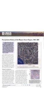
Precipitation History of the Mojave Desert Region, 1893-2001
Potential for Ground-Water Contamination from Movement of Wastewater through the Unsaturated Zone, Upper Mojave River Basin, California
Report on the Geophysical Investigations for the Harper-Hinkley Gap Area Near Hinkley, California
Riparian Vegetation and Its Water Use During 1995 Along the Mojave River, Southern California
Simulation of Water-Management Alternatives in the Mojave River Ground-Water Basin, California
Source and Movement of Ground Water in the Western Part of the Mojave Desert, Southern California, USA
Report on the Utilization of Mojave River for Irrigation in Victor Valley, California
The Mohave Desert Region, California A Geographic, Geologic, and Hydrologic Reconnaissance
Technical Study to Evaluate a Potential Long-Term Water Management Program Between Mojave Water Agency and Metropolitan Water District
Some Desert Watering Places in Southeastern California and Southwestern Nevada
Water Supply in the Mojave River Ground-Water Basin, 1931-99, and the Benefits of Artificial Recharge
Water Levels and Artesian Pressure in Observation Wells in the United States in 1939