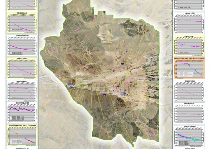
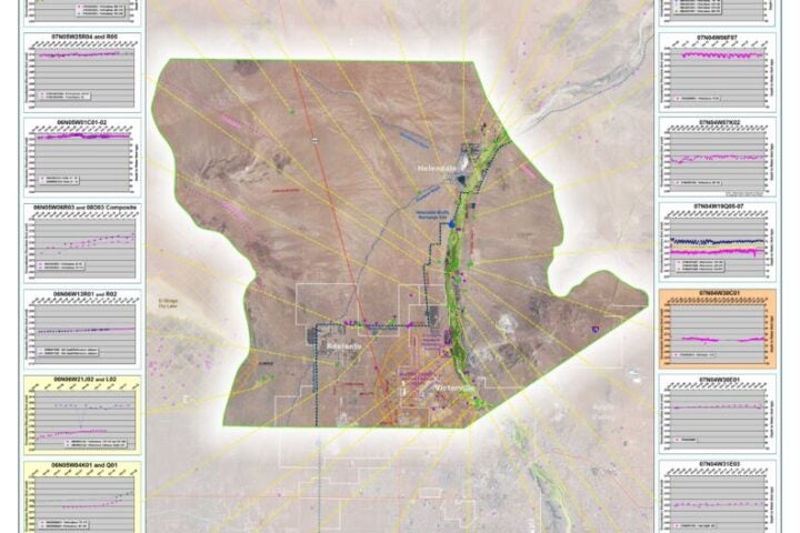
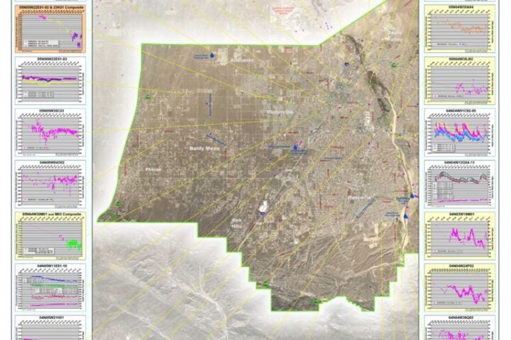
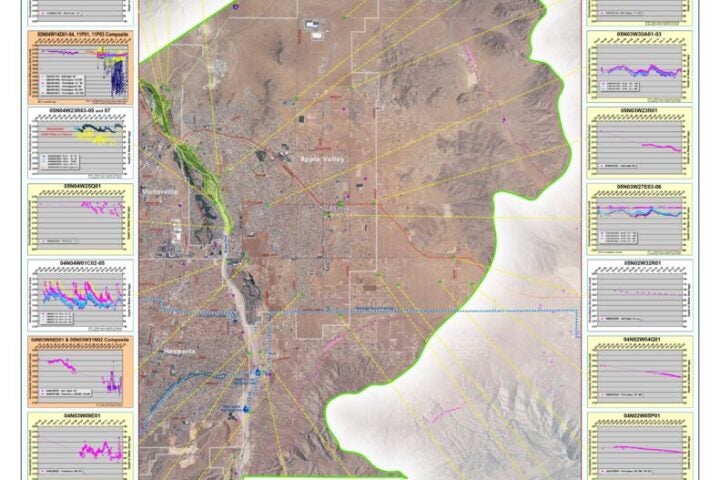
Map Gallery
Welcome to the Map Gallery. Maps are available for download in Adobe PDF format, the size of each document is indicated inside the parenthesis. Links to Geospatial files, in KMZ and Esri formats, have been provided for some datasets in these thematic maps.
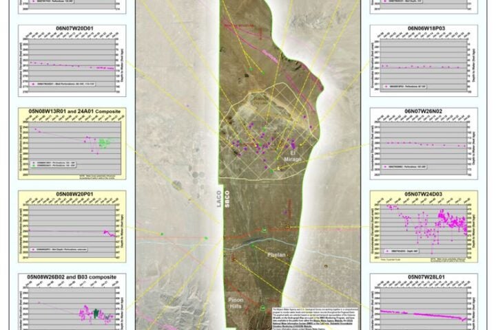
Oeste Hydrograph 2026
 Download This Map
Morongo Hydrograph 2026
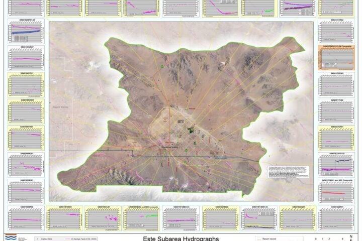
Este Hydrograph 2026
Centro Hydrograph 2026
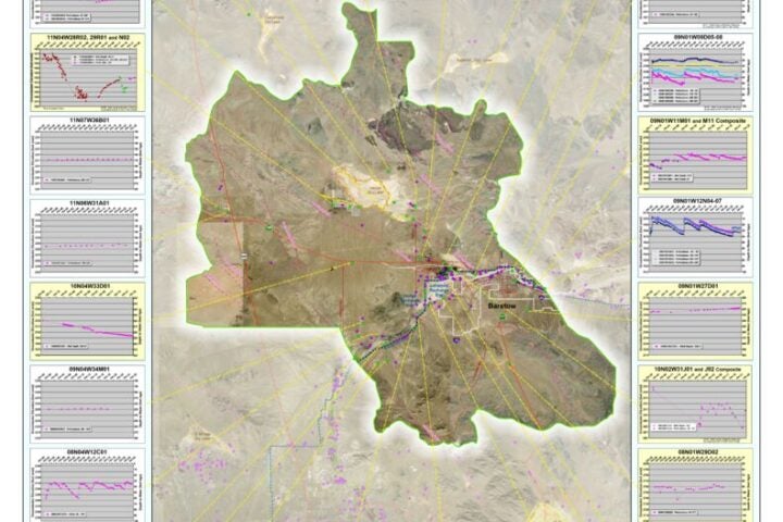
Baja Hydrograph 2026
AltoTZ Hydrograph 2026
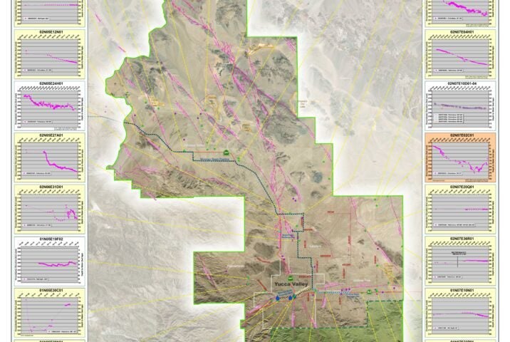
Alto West Hydrograph 2026
Alto East Hydrograph 2026
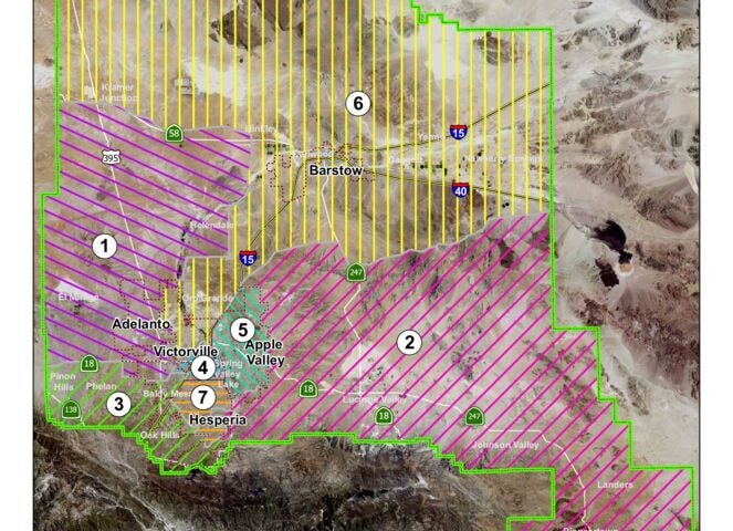
Directors Divisions 2024