Map Gallery
Welcome to the Map Gallery. Maps are available for download in Adobe PDF format, the size of each document is indicated inside the parenthesis. Links to Geospatial files, in KMZ and Esri formats, have been provided for some datasets in these thematic maps.
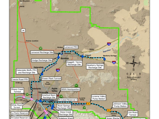
Facilities Download
 Download This Map
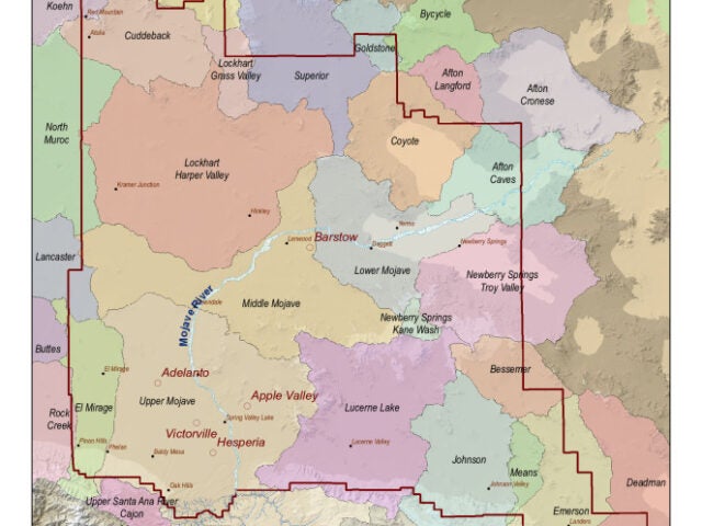
MWA Directors Divisions
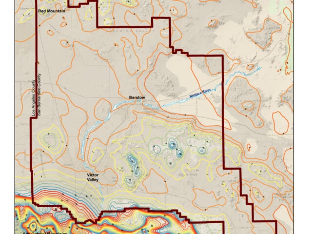
Average Annual Precipitation MWA and Victor Valley Area
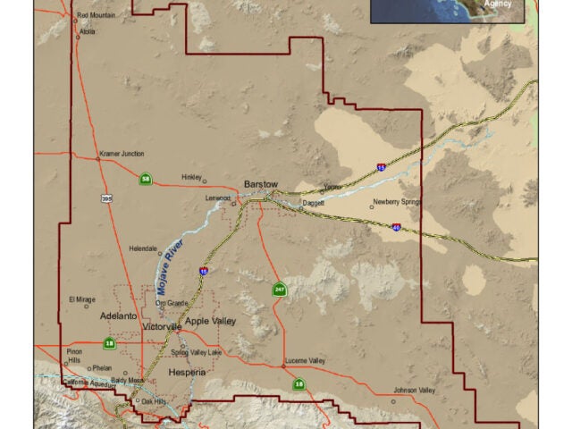
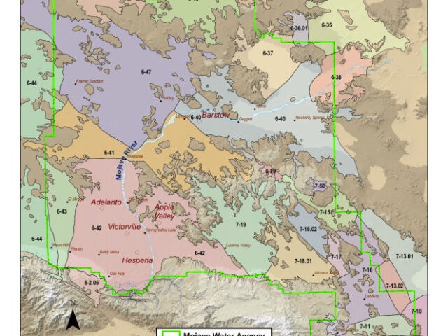
MWA Boundary
Watersheds
Groundwater Basins
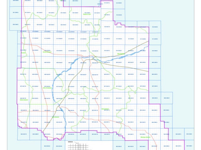
Township Range & Section
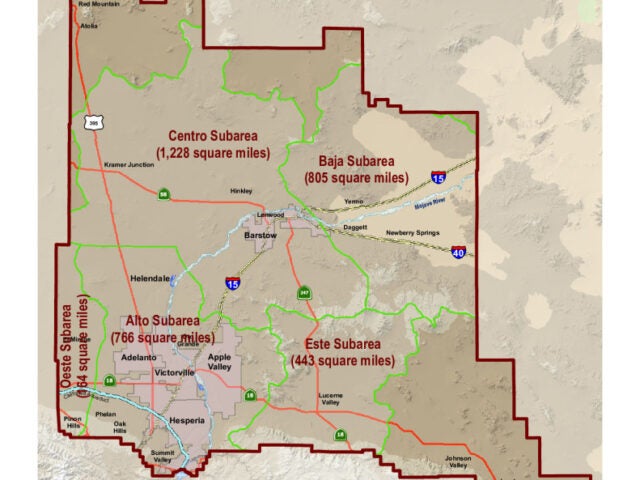
MWA Adjudicated Subareas