Map Gallery
Welcome to the Map Gallery. Maps are available for download in Adobe PDF format, the size of each document is indicated inside the parenthesis. Links to Geospatial files, in KMZ and Esri formats, have been provided for some datasets in these thematic maps.
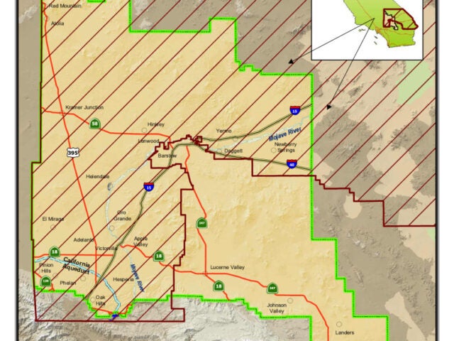
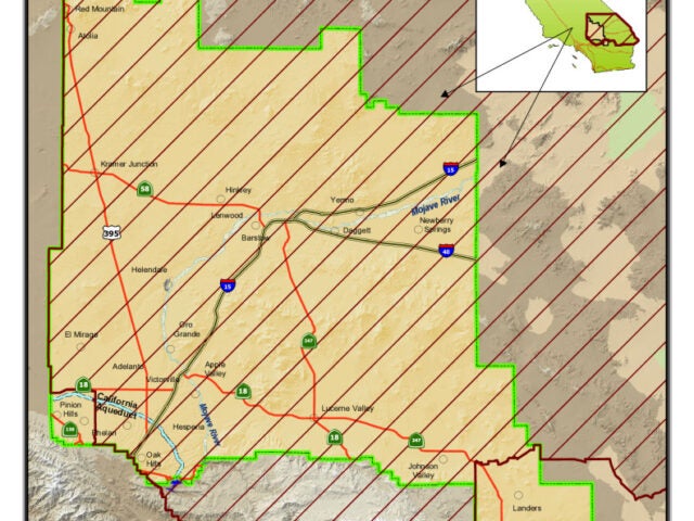
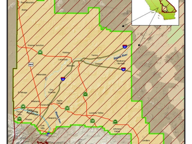
County – San Bernardino County Supervisorial Districts : First Supervisorial District and Mojave Water Agency
 Download This Map
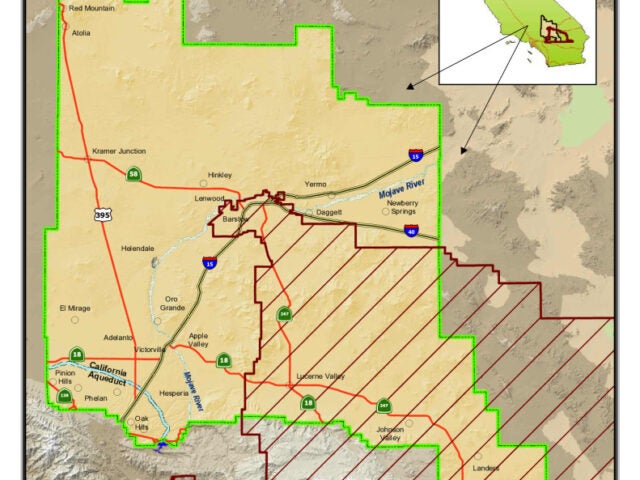
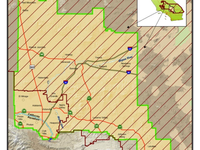
County – San Bernardino County Supervisorial Districts : Third Supervisorial District and Mojave Water Agency
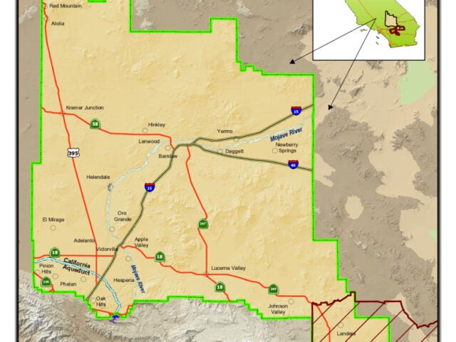
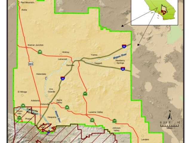
State – California Assembly Districts : Assembly District 42 and Mojave Water Agency
State – California Assembly Districts : Assembly District 36 and Mojave Water Agency
State – California Assembly Districts : Assembly District 33 and Mojave Water Agency
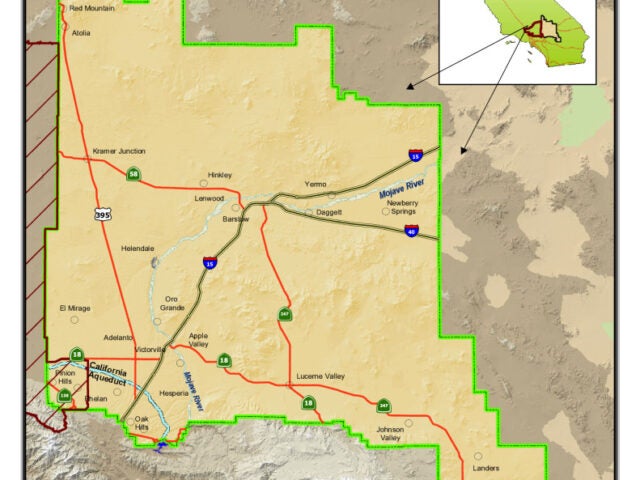
State – California Senate Districts : Senate District 16 and Mojave Water Agency
State – California Senate Districts : Senate District 23 and Mojave Water Agency
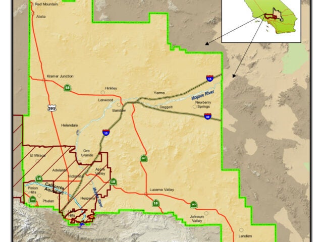
State – California Senate Districts : Senate District 21 and Mojave Water Agency
Federal – United States Congressional District : Congressional District 8 and Mojave Water Agency